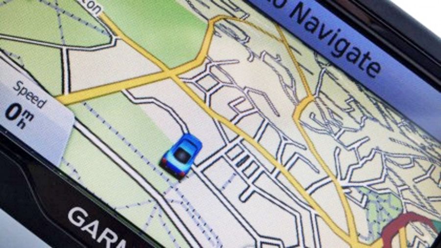
Our smartphone apps have become pretty adept at finding a route from A to B, but they do still occasionally make errors – such as directing cars into lakes or sending lorries down country lanes that are far too narrow for the vehicles.
New updates rolling out before the end of the year and produced in partnership with the Ordnance Survey should make incidents like this much less common. Extra data on some 200,000 miles of roads will be added to flag-up tight turns and low bridges.
Called The National Digital Road Map database, it will cover road widths, weight restrictions and limits on left or right turns at junctions. Fewer marooned trucks should mean a safer driving experience for everyone.
Sat nav savvy
The rollout will be sold as a commercial product, to try and recoup some of the cost of building the database, so it’s up to the likes of Google and Apple (and the companies they buy data from) to sign up to get the new updates.
“The definitive data, which also includes information on speed limits and planned road maintenance, delivers a product which will enable more efficient routing for all road users, including HGVs,” the Ordnance Survey’s Robert Andrews told the BBC.
It’s a welcome reminder not to rely too heavily on your sat nav device or smartphone app – it might be able to direct you around city centre rush hour quite effectively, but it always pays to use your eyes as well.
Sourse: techradar.com