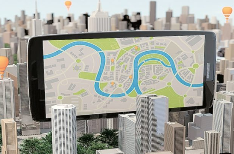
Artificial intelligence has made rapid progress, especially in areas such as computer vision, natural language processing, and machine translation. The intersection of Artificial Intelligence (AI) and geographic information systems (GIS) is creating massive, new opportunities. AI, Machine Learning and Deep Learning are helping us make a better world.
Machine learning is a core component of spatial analysis in GIS. These tools and algorithms have been applied to geoprocessing tools to solve a variety of problems. Prediction algorithms such as geographically weighted regression allow you to use geography to calibrate the factors for predictions. These methods need experts to identify or feed in those factors (or features) that affect the outcome that we are trying to predict.
The rise of Deep Learning
In Deep Learning, machines figure out what those factors/features are, just by looking at the data. In a deep neural network, there are neurons that respond to stimulus and they are connected to each other in layers. One aspect of AI where Deep Learning has done exceedingly well is computer vision. The simplest of the many possible computer vision tasks is Image Classification, in which the computer assigns a label, such as ‘cat’ or ‘dog’ to an image. This can be used in GIS to categorise geotagged photos. Then, there’s Object Detection, in which the computer finds objects and their location within an image.
Another important task in computer vision is Semantic Segmentation, wherein we classify each pixel of an image as belonging to a particular class.
In GIS, Semantic Segmentation can be used for land cover classification or to extract road networks from satellite imagery. Instance Segmentation is yet another type of segmentation wherein the detailed boundary of each object instance is marked out.
ArcGIS—a proprietary software from Esri—has tools to help with every step of the data science workflow, while the Living Atlas provides access to a large collection of Esri-curated and partner-provided imagery that can be critical to a deep learning workflow. ArcGIS Pro includes tools for helping with data preparation for deep learning workflows, and it is being enhanced for deploying trained models for feature extraction or classification.
The road ahead
Some of the innovative uses of Deep Learning are for enhancing imagery such as increasing zoom levels through ‘Superresolution networks’. This technique can be used to increase clarity of satellite images and even go beyond the resolution of the sensors used. Another innovative use of Deep Learning is in the field of ‘Creative AI’. Neural style transfer techniques can be used for generating ‘map art’ and can find practical use in GIS through cartographic style transfer. Generative Adversarial Networks (GANs) is an active area of research and can be used for generating map tiles straight out of imagery.
Deep Learning can also be used for processing large volumes of structured data such as observations from sensors or attributes from a feature layer. Applications of such techniques to structured data include predicting the probability of accidents, sales forecasting, natural language routing and geocoding.
Source: financialexpress.com